 Cart
Cart Create Account
 Sign In
Collection:
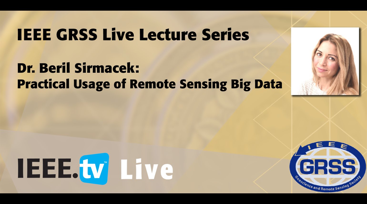
Remote sensing data is available for agriculture monitoring for very long time. Some of the data resources are regularly updated and they are provided for free commercial and non-commercial usage. We know the added value of the earth observation to land management applications, such as saving costs in agriculture and making right decisions to treat to environment in a friendly way. Nevertheless, most of the agriculture farmers, still cannot benefit from these free resources fully. Travelling to farms around Europe and having Skype calls with farmers all around the world, I curiously tried to find answers to this question; "there is a huge data source available, why can't you use it for improving your agriculture business?" The answers from all around the world were almost the same; 1- The remote sensing data is difficult to access from their existing devices. Either the farmers do not know which online platforms and which software to use, or they do not have good internet access and the required hardware. 2- The remote sensing data is difficult to visualize. Again, the reason is either not knowing which software to use, or not being able to handle big data in a regular pc. 3- Even after the visualization is done, the remote sensing data is difficult to interpret and understand what different colors of a false colored image represent. With my passion on making remote sensing data useful for everyone, last three years, I have worked on building a framework for providing easily accessible and understandable results based on remote sensing, big data processing and augmented reality technologies. In this webinar, I'd like to introduce how the big data challenges are overcome by this application and further potentials of the proposed platform for conscious land management. The lecture will include the following topics followed by a question period: Open data policies, Impact in agriculture, Big data opportunities and problems, How to benefit from big data, What is location-based AR and how to make use of it, Added value, The future of farming, and The future of big data.
- IEEE MemberUS $11.00
- Society MemberUS $0.00
- IEEE Student MemberUS $11.00
- Non-IEEE MemberUS $15.00
Videos in this product
Practical Usage of Remote Sensing Big Data
Remote sensing data is available for agriculture monitoring for very long time. Some of the data resources are regularly updated and they are provided for free commercial and non-commercial usage. We know the added value of the earth observation to land management applications, such as saving costs in agriculture and making right decisions to treat to environment in a friendly way. Nevertheless, most of the agriculture farmers, still cannot benefit from these free resources fully. Travelling to farms around Europe and having Skype calls with farmers all around the world, I curiously tried to find answers to this question; "there is a huge data source available, why can't you use it for improving your agriculture business?" The answers from all around the world were almost the same; 1- The remote sensing data is difficult to access from their existing devices. Either the farmers do not know which online platforms and which software to use, or they do not have good internet access and the required hardware. 2- The remote sensing data is difficult to visualize. Again, the reason is either not knowing which software to use, or not being able to handle big data in a regular pc. 3- Even after the visualization is done, the remote sensing data is difficult to interpret and understand what different colors of a false colored image represent. With my passion on making remote sensing data useful for everyone, last three years, I have worked on building a framework for providing easily accessible and understandable results based on remote sensing, big data processing and augmented reality technologies. In this webinar, I'd like to introduce how the big data challenges are overcome by this application and further potentials of the proposed platform for conscious land management. The lecture will include the following topics followed by a question period: Open data policies, Impact in agriculture, Big data opportunities and problems, How to benefit from big data, What is location-based AR and how to make use of it, Added value, The future of farming, and The future of big data.